Community Corner
Major Snowstorm Could Hit Eastern Pa. Next Week
Forecasters are keeping a close eye on computer models that show a big snowstorm could be headed to eastern Pennsylvania around Dec. 19-20

Update 11 a.m. Thursday:
WFMZ reports a storm is looking increasingly likely for Tuesday-Wednesday but the big question is whether it will be rain or snow. The National Weather Service predicts a chance of rain/snow on Tuesday night.
Original Story:
Find out what's happening in Bethlehemwith free, real-time updates from Patch.
It could be much more than a White Christmas if the Lehigh Valley gets one to two feet of snow next week.
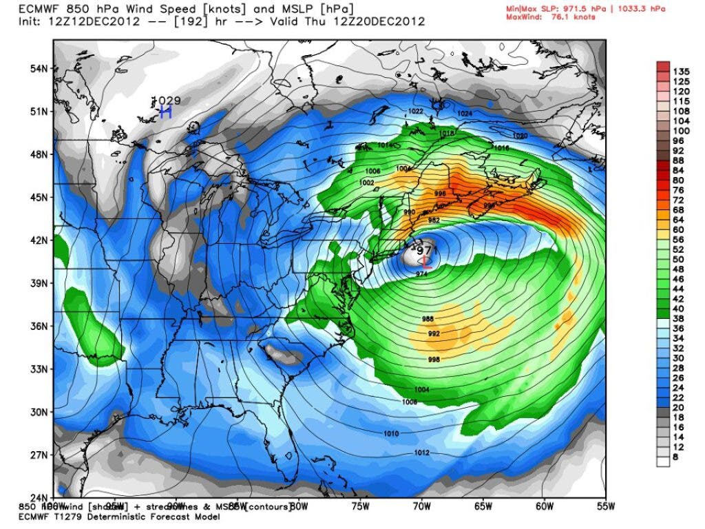
The Eastern Pa. Weather Authority says a potentially "monstrous" storm is showing up on a European weather model, according to the following post on the group's Facebook page:
Find out what's happening in Bethlehemwith free, real-time updates from Patch.
Update on next week's storm potential.... this is as monstrous of a storm you can get just about, as modeled on today's 12z European model run. This would be, if correct, a "KU" storm... or one for the history books. Verbatim to this run, this would cripple interior PA, more specifically Central PA and NE PA with heavy snow in the 1-2 FEET+ range, heavy rain to heavy snow in areas NW of the I-95 corridor (including the Lehigh Valley and NW NJ), mostly a wind driven rain to tail end snow for SE PA and the rest of NJ and coastal areas. This will likely change several times before next Tuesday/Wednesday when the impact is expected, so devil's in the details at this point. In other words... big storm increasingly likely, but rain vs. snow areas and where that sets up exactly are impossible to predict right now. But wow what a monster of a storm on the European model...
Eastern Pa. Weather Authority Chief Meteorologist Bobby Martrich posted these additional points online:
- Potential light freezing rain Saturday night into Sunday morning
- Potential for freezing rain Monday night overnight
Accuweather says it is watching a possibly snowy, colder weather pattern for next week into the holidays.
"Our forecast tools continue to show the potential for several storm systems that could track from the South to the East from next week through the holiday," the weather service says in this website post.
AccuWeather.com says its "meteorologists are confident that there will be several opportunities for accumulating snow prior to Christmas from the Plains to the East and that will make some folks happy who wish for a white Christmas every year."
Get more local news delivered straight to your inbox. Sign up for free Patch newsletters and alerts.
